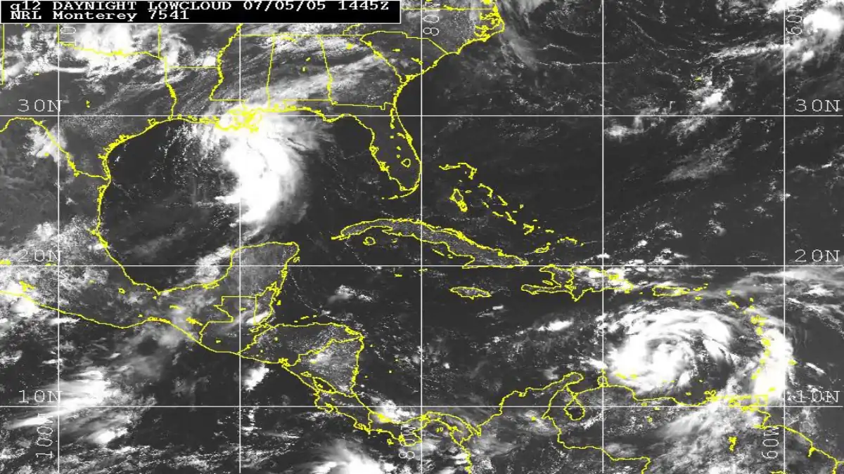

The National Hurricane Center located Vance roughly 555 kilometres southwest of Acapulco in its 9 a.m. CST Saturday advisory, with sustained winds of 165 km/h and slow north-northwestward movement. The storm had been stronger earlier in the day, so that figure is not evidence of uninterrupted intensification.
What is confirmed
For residents and visitors, the critical distinction is between a projected path and a confirmed coastal threat. The forecast cone does not pinpoint where damage will occur, and the absence of coastal watches in that advisory does not rule them out later. Rain bands, surf and track shifts each need separate monitoring.
Why it matters—and what remains uncertain
Before publication or travel use, check the latest NHC and Mexican civil-protection notices. An editorial forecast must never replace local official warnings.
Context worth knowing
NHC track forecasts are probabilistic, not a single route the storm must follow. Central sustained winds do not automatically predict rainfall in individual towns. Local rain forecasts and Mexican official alerts are therefore essential. In rapidly evolving weather, a headline that keeps an outdated wind figure may mislead people making practical decisions.
What comes next
Editorial note: Figures and decisions reflect the cited reporting cutoffs. They may change; consult the latest official update before taking action.