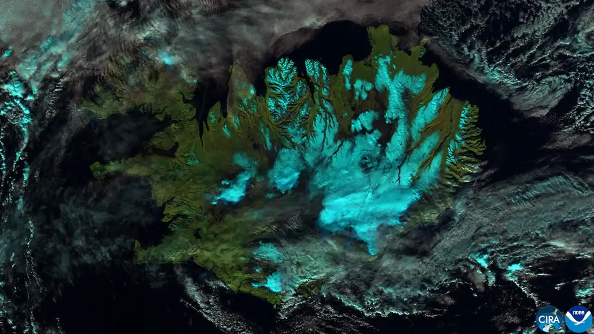

NASA’s Earth Observatory tracked the remnants of Hurricane Isaias as they developed into an extratropical cyclone near Iceland.
A weather system that changed character
Hurricane Isaias made landfall in Florida as a Category 2 storm on October 9, 2026, according to NASA Earth Observatory. Its remnants later crossed the North Atlantic and evolved into a powerful extratropical cyclone passing near Iceland. The satellite view NASA published on October 21 was captured on October 14 by the VIIRS instrument aboard NOAA-21.
This illustrates a crucial difference: tropical hurricanes and extratropical cyclones gain energy through different atmospheric processes. A transition away from tropical structure does not automatically make a storm harmless. Strong winds, extensive rain bands and dangerous seas can persist or reorganise.
Reading the cloud pattern
Extratropical cyclones often develop asymmetrical, comma-shaped cloud structures associated with fronts and temperature contrasts. The jet stream can help remnants reorganise into a different kind of intense weather system. Space-based imagery makes the broad shape visible in a way a ground observer cannot.
A satellite photograph alone does not prove local damage, however. Actual impacts near Iceland must be documented through weather-service observations and ground reports rather than inferred solely from cloud appearance.
The dates must not be confused
NASA’s article appeared on October 21, while the observation was made on October 14. Both dates belong in the caption and article. If the exact NASA image cannot be cleared for reuse, the proposed licensed Iceland imagery must be explicitly labelled contextual rather than presented as that cyclone.
Sources and documents
Editorial verification: based on reporting available October 22, 2026. Recheck developments before release.