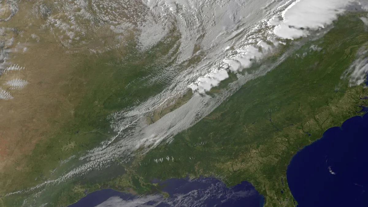

Mexico’s second cold front of the season brought renewed attention to rain, strong winds and falling temperatures on October 20. The risk is not identical across the country, and forecasts can change substantially from one official bulletin to the next. Understanding the difference between a warning and a prediction is essential for people planning travel or protecting their homes.
Source: Crónica Regional: frente frío 2, reporte del 20 de octubre.
What authorities have reported
The National Water Commission, Conagua, and national civil-protection officials issued precautionary notices about the cold front and its interaction with other weather systems, including Hurricane Trudy in earlier days. Their warnings covered swollen rivers, rapid rises in streams, flooding in low-lying areas and landslides on slopes.
A news summary published by UnoTV on October 20 described rainfall affecting Veracruz and particularly heavy precipitation in Tabasco, Oaxaca and Chiapas. It also highlighted low temperatures in highland areas of multiple states. These regional forecasts have a limited shelf life and should not be republished as tomorrow’s conditions without checking a new official bulletin.
Source: Noticias de hoy 20 de octubre de 2026, en un minuto, hasta las 13:00 horas.
Why cold fronts can also create flood hazards
A cold front is not simply a wave of low temperatures. When colder air meets moist air, the warm air may rise, generating clouds, storms and intense rainfall. Saturated soil and poorly drained streets can make additional precipitation more hazardous. River valleys and steep terrain require particular attention during periods of prolonged rain.
Wind matters too, especially for exposed roads and coastal areas. A helpful weather story explains which hazard is expected and where; it does not treat every part of a large country as if it had the same forecast.
Practical steps and the next update
Civil-protection agencies recommend following local instructions, avoiding flooded roads and streams, and knowing safe routes where evacuation advice has been issued. Drivers should account for low visibility and standing water. People near waterways or unstable slopes should pay close attention to official warnings specific to their communities.
The earlier federal bulletins provide useful context, but the precise forecast must come from the latest National Meteorological Service release. The main question for the following day is not simply whether front number two still exists, but how the areas of greatest risk have shifted.
A dated forecast should always carry its observation period. Readers should not interpret this article as a real-time storm tracker; updated official advisories take priority over any summary published the day before.
Forecast update dated October 20
UnoTV reports that cold front 3 is expected near northwestern Mexico on Wednesday, October 21, while front 2 would stop directly affecting the country. This is a dated forecast; check the latest SMN advisory before traveling.
Update source: UnoTV: previsión del frente frío 3 para el 21 de octubre.
Sources and verification date
- Llama Gobierno de México a extremar medidas de prevención ante los efectos del huracán Trudy y el frente frío número 2 | Comisión Nacional del Agua | Gobierno | gob.mx — 2026-10-20.
- CNPC EXHORTA A LA POBLACIÓN A MANTENER MEDIDAS DE PREVENCIÓN ANTE LAS CONDICIONES QUE GENERAN EL HURACÁN TRUDY Y EL FRENTE FRÍO NÚMERO 2 | Secretaría de Seguridad y Protección Ciudadana | Gobierno | gob.mx — 2026-10-20.
- Noticias de hoy 20 de octubre de 2026, en un minuto, hasta las 13:00 horas — 2026-10-20.
- Crónica Regional: frente frío 2, reporte del 20 de octubre — 2026-10-20.
- UnoTV: previsión del frente frío 3 para el 21 de octubre — 2026-10-20.