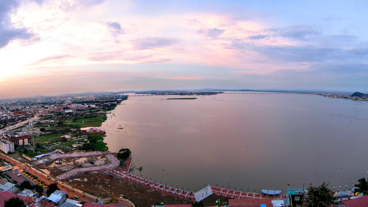

Flooded streets, fallen trees and disrupted journeys greeted residents of Guayaquil on Monday, October 19, 2026. According to the city’s emergency operations committee, rainfall reached 170.37 millimeters by 8 a.m. Local crews responded to widespread standing water, but the most important development for residents is the forecast: Ecuador’s meteorological institute has warned of further heavy rain through Thursday, October 22.
A storm that brought a city to a standstill
Updated totals: the 170.37 mm figure belongs to the morning cutoff. Primicias later reported 216.2 mm attributed to Inamhi and roughly 220 litres per square metre in a municipal reading at 14:00. These are different cutoffs and stations; they must not be added together or applied to every neighbourhood.
The downpour affected neighborhoods and roads across northern, central and southern Guayaquil. Early emergency reports identified 57 locations with accumulated water; a later municipal update described interventions at 70 sites by Interagua and Emapag. Those numbers refer to different reporting points in a developing situation. They should not be combined into a purported total of 127 flooded locations.
Sauces 6 was among the neighborhoods facing significant disruption. Waterlogged roads slowed vehicles and public transportation, while local businesses struggled to operate. In some areas, residents described unusually persistent floodwater, and municipal teams deployed equipment to clear drainage systems.
The rainfall figure is striking. One millimeter of precipitation corresponds to one liter of water per square meter, so 170.37 millimeters means 170.37 liters per square meter. But the volume of rain alone cannot explain why one street clears quickly and another remains submerged. Drainage infrastructure, terrain, waterways and the timing of the storm all matter.
The emergency extended beyond central Guayaquil. In Tenguel, a rural parish within the canton, river overflow affected residential areas. Local reporting described families facing flooding and disruptions to water pumping. The evolving damage assessment can change as authorities issue further updates.
What Ecuador’s weather warning says about October 20–22
The National Institute of Meteorology and Hydrology, known as Inamhi, issued warning number 81 covering the period from 3 p.m. on October 19 until 11 p.m. on October 22. It forecast rain, localized thunderstorms and strong gusts across parts of Ecuador’s coastal region and western Andean slopes.
The institute identified two periods with the greatest potential for severe weather: Tuesday afternoon into early Wednesday, October 21, and Thursday afternoon and evening, October 22. Among the exposed areas are parts of Guayas, Los Ríos, Esmeraldas, El Oro, Santo Domingo and other provinces.
Forecasts describe risk, not a guarantee that every town will flood. Rainfall can vary sharply from one neighborhood to the next, making location-specific official updates essential for anyone planning travel or work.
Meteorological reports also point to warmer Pacific conditions associated with El Niño. That context helps explain why the episode is attracting attention outside Ecuador, but the immediate weather is shaped by multiple interacting atmospheric systems. It would be misleading to describe the flooding as the result of a single cause.
Are schools open on Tuesday?
The storm also caused education authorities to adjust in-person attendance. On Monday, schools in education zones 5 and 8 affected by flooding or inaccessible roads suspended face-to-face activities. Authorities subsequently announced that normal in-person classes were expected to resume on Tuesday, October 20, while Balao, Milagro and Tenguel remained subject to local assessments and district instructions.
Families should therefore check the most recent notice issued by their school and education district. A general reopening announcement does not necessarily settle conditions at a specific campus, particularly where access routes or buildings remain affected.
The next test is not just the weather
During the emergency, the municipal safety agency Segura EP advised people to avoid unnecessary journeys. If conditions worsen again, residents should not attempt to drive or walk through fast-moving floodwater and should stay clear of damaged power lines or open drainage infrastructure. Emergency guidance should come from local authorities.
What happens next depends on how quickly the water recedes, whether drainage networks remain functional and whether new storms hit the same vulnerable neighborhoods. For Guayaquil, the most useful question is not simply ‘Will it rain?’ It is ‘Which areas remain at risk, and what has changed since the last official update?’
Sources: Guayaquil municipality · Primicias local report · Inamhi warning reported by El Comercio · School update, El Universo.
Sources reviewed on October 20, 2026, Ecuador time. Developing events may change.